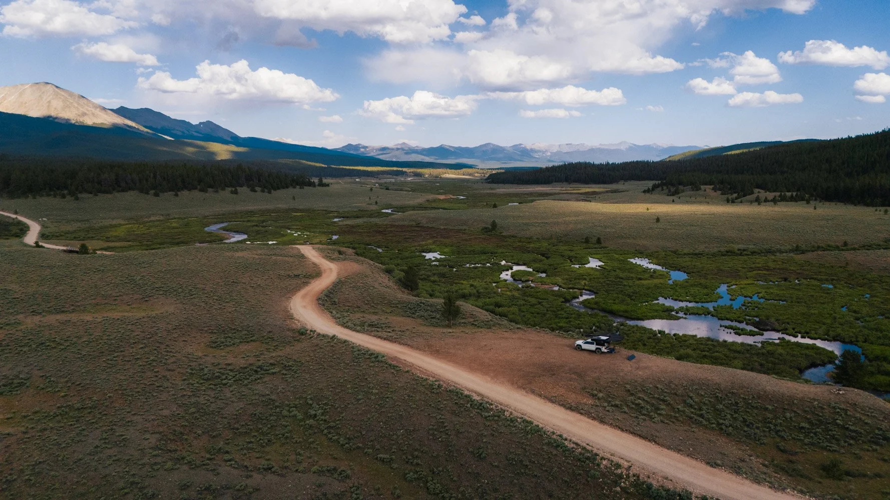
Introducing “the Detour Map”
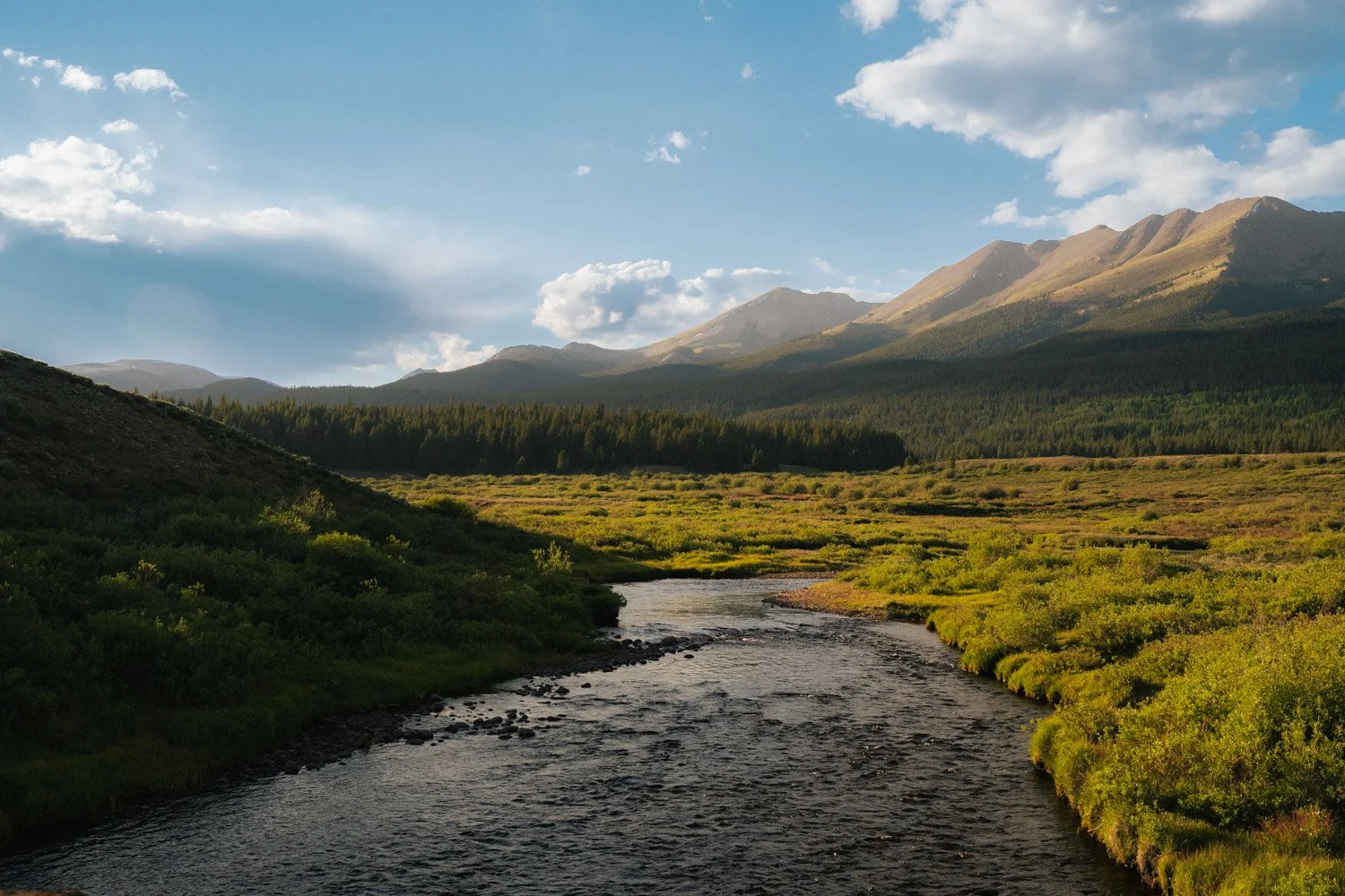
Places that don’t make it into the guidebooks, curated one place at a time.
Some of the best places I’ve found on the road were never part of the plan.
A quiet campsite tucked into public land.
A hot spring after too many miles behind the wheel.
A small-town market with better food than anything I had packed.
A fly shop that actually knew the local water.
A dirt road that looked like a shortcut and turned into the best part of the trip.
Those are the places that tend to stay with me.
Not because they’re famous.
Not because they’re perfectly optimized for a travel itinerary.
Because they make the trip feel alive.
That’s why I started building The Detour Map.
It’s a curated collection of the places, routes, shops, rivers, campsites, restaurants, and roadside finds that shape This Way Wild. Some are practical. Some are beautiful. Some are weird little road-trip treasures. All of them are places I’d want to remember, revisit, or recommend to someone heading that direction.
This isn’t meant to be a list of “must-see” destinations.
The internet already has plenty of those.
The Detour Map is more personal than that. It’s a field guide for the long way around.
What’s on the Map
The map is organized around the things I actually look for when I’m traveling.
Campsites for places to sleep outside, wake up slow, and make coffee somewhere worth remembering.
Hot Springs for the days when the trip needs a reset.
Detours for scenic drives, weird stops, overlooks, side roads, and places that are worth pulling off the main route.
Fly Fishing for rivers, creeks, lakes, and access points that have shaped days on the water.
Restaurants for the meals that hit harder after a long drive, a cold morning, or a dusty trail.
Local Markets and Local Food for the small groceries, farm stands, bakeries, and food stops that make road life better.
Fun Hikes for trails that punch above their weight.
Outfitters and Overlanding Shops for the businesses, makers, and gear people who are actually part of the outdoor community.
Some pins are specific. Others are intentionally broad. That’s by design.
I want this map to be useful without turning every good place into a treasure chest with the lid ripped off. There’s a balance between sharing what’s helpful and protecting what makes a place feel special in the first place.
The goal isn’t to remove the adventure.
The goal is to give you enough of a nudge to go find your own.
Why I’m Building It
A lot of travel has become strangely copy-and-paste.
We search for the best campsite, the best hike, the best restaurant, the best view, and pretty soon everyone is standing in the same place, taking a version of the same photo, following a route that someone else already flattened into instructions.
I get the appeal. I use maps constantly. I save pins obsessively. I love a good recommendation.
But the best parts of a trip usually happen when there’s still a little uncertainty left in it.
The Detour Map is my attempt to hold onto that.
It’s a way to share the places that have shaped This Way Wild without turning travel into homework. A way to connect episodes, road notes, gear testing, fly fishing, camping, food, and the people I meet along the way.
It’s part archive, part trip-planning tool, part notebook from the road.
A map for people who still want the story to unfold a little.
A Living Field Guide
The Detour Map will keep growing as I travel.
Every trip adds something. A campsite. A shop. A trail. A town. A meal. A mistake. A place I’d go back to. A place I’d only visit once, but still think is worth knowing about.
That’s the fun of it.
It’s not finished.
It probably never will be.
And that feels right.
This Way Wild has never been about having everything perfectly dialed. It’s about getting out there, figuring it out, following curiosity, and leaving enough room for the road to surprise you.
The Detour Map is built in that same spirit.
A place for the long way around.
A place for the pull-off, the side road, the local tip, the better-than-expected meal, the cold creek, the sunrise camp, and the small decisions that end up becoming the story.
Sometimes all you need is one good pin.
The rest happens between them.
How to Access the Detour Map
The Detour Map is available to This Way Wild supporters.
You can unlock access in one of two ways: by becoming a paid subscriber on the This Way Wild YouTube channel, or by donating directly through this site.
I built the map as a way to give something useful back to the people helping support the channel. Every pin comes from real trips, scouting days, filming locations, fishing stops, campsites, local recommendations, and places I’d actually send a friend.
This isn’t a public pile of random coordinates.
It’s a living field guide built from the road.
Once you support This Way Wild, you’ll receive access to the private Google My Maps link. From there, you can open the map in your browser, save it to your Google account, and use it while planning future trips.
Inside the map, you’ll find layers for campsites, hot springs, detours, fly fishing, restaurants, local markets, hikes, and outfitters.
You can turn layers on and off depending on what you’re looking for. Planning a camping trip? Keep the campsite layer on. Building a road trip? Leave everything visible and see what lines up along the route.
Some pins are specific. Others are intentionally broad. That’s by design.
The goal is to make the map useful without turning every good place into an overexposed coordinate dump. I want this to help you explore, not remove the adventure completely.
The Detour Map will keep growing as This Way Wild grows. Every trip adds something: a campsite, a fly shop, a hot spring, a road, a meal, a local market, a place worth remembering.
Supporters get access to the living version as it evolves.